The site today, the scheme proposed, and the plans the applicant has submitted
The developer’s marketing render and the application’s key drawings, with plain-English markers. Tap any drawing to enlarge it.
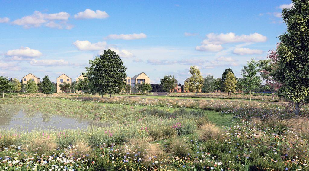
Developer’s render
How Peveril Homes is selling the scheme
This is the marketing visual published on westernmerebreaston.co.uk — a computer-generated view looking north from the southern country park toward the proposed houses.
Worth noting: the indicative housing in the background is illustrative only. Materials, dwelling design and exact layout are reserved mattersand would all be settled at a later stage. The wildflower meadow in the foreground depends on long-term management being delivered — see the “Long-term management” topic on the summary page.
The drawings residents should see
Submitted plans, with markers
Tap any numbered marker for an explanation of what that part of the drawing shows.
1. Illustrative masterplan
How the applicant proposes to lay the homes out. All matters reserved except access.
Tap a numbered marker for an explanation, or the image for a full-size view.
2. Proposed site access
Detail of the new A6005 junction — the only matter being approved at this outline stage.
Tap a numbered marker for an explanation, or the image for a full-size view.
3. Drainage strategy
How surface water and foul drainage are handled.
Tap a numbered marker for an explanation, or the image for a full-size view.
4. Constraints & opportunities
What the applicant identifies as the site’s constraints and the opportunities they propose to use.
5. Parameter plan
The plan that binds reserved-matters decisions — defines the developable extent and open-space area. Storey heights and building scale are not fixed by this parameter plan and remain reserved matters.
6. Landscape strategy
The landscape architect’s proposed planting palette, southern country park and retained hedgerows / trees.
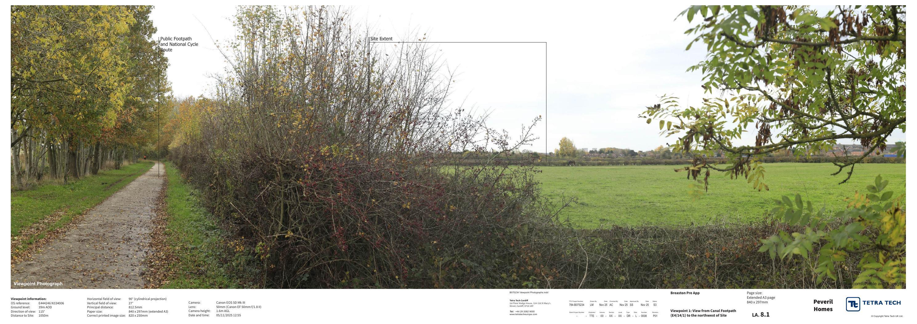
Viewpoint photographs
What the site looks like from the surrounding footpaths today
The Landscape and Visual Impact Assessment (LVIA) includes viewpoint photographs from public rights of way around the site. The LVIA concludes that at Year 15 the residual visual effect on residents of Gregory Avenue and users of footpath E2/18/1 remains major adverse / significant.